Our Services
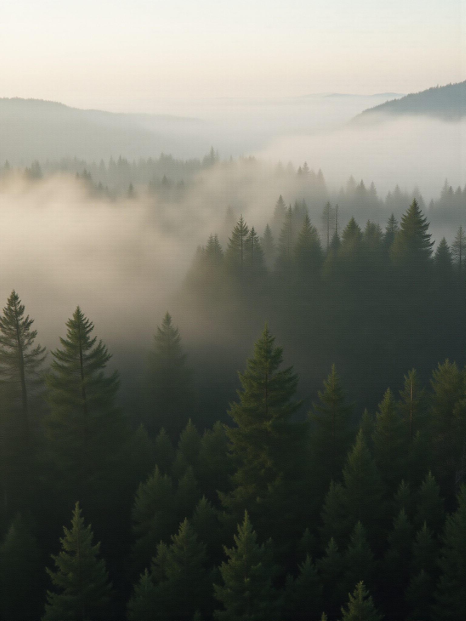
Forestry Monitoring
Utilizing advanced drone technology, we provide detailed forestry monitoring services to help manage and assess forest health, ensuring sustainable practices for Oregon's rich woodlands.
Quarry Mapping
Our quarry mapping services deliver high-resolution aerial imagery that aids in resource management, operational planning, and site analysis for enhanced productivity and safety.
Aerial Imagery
We capture stunning aerial/thermal imagery, perfect for inspections, marketing, and documentation. Our professionally edited visuals highlight your project from above.
Photogrammetry
Using cutting-edge photogrammetry techniques, we create accurate 2D and 3D models for various applications, offering precise data for analysis and planning.
Professional Training
We offer comprehensive professional training programs designed for individuals and organizations looking to enhance their skills in drone operation and applications.